A new partnership between autonomous vehicle operator Waymo and navigation platform Waze aims to address one of the most persistent problems facing American motorists and municipal governments alike: the detection and repair of potholes.
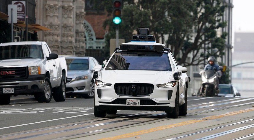
The collaboration represents a practical application of technology already deployed on American roads. Waymo’s fleet of self-driving vehicles, which log countless hours navigating city streets daily, continuously scan their surroundings using an array of cameras, sensors, and onboard software systems. That same technology is now being repurposed to identify road damage as it occurs.
When a Waymo vehicle detects a pothole or similar road hazard, the information is transmitted through Waze’s “Waze for Cities” platform. Municipal transportation departments can access this data at no cost, while the information simultaneously appears in the consumer Waze application, alerting drivers as they approach problem areas.
The system incorporates a verification mechanism. Waze users can confirm or dispute reported potholes, creating a feedback loop that improves accuracy over time. This combination of automated detection and human confirmation produces what appears to be a more reliable assessment of actual road conditions than either method could achieve independently.
The traditional approach to pothole management has proven inadequate in many jurisdictions. Most cities depend on residents to report road damage through 311 telephone systems or online submission forms. Municipal crews must then investigate these reports and prioritize repairs based on available resources and staffing. This reactive process inevitably creates delays and coverage gaps. Some potholes remain unreported until they cause vehicle damage or contribute to accidents. Others are reported only after they have deteriorated significantly.
The Waymo-Waze initiative offers a different model. By utilizing real-time data from vehicles already conducting regular operations, cities gain visibility into emerging problems before they escalate. The data also reveals patterns that can inform more strategic repair planning and more efficient resource allocation.
The partnership is currently operational in five major metropolitan areas: the San Francisco Bay Area, Los Angeles, Phoenix, Austin, and Atlanta. These locations were selected because Waymo already maintains active operations there, facilitating consistent data collection. Even in this initial deployment phase, the system has identified approximately 500 potholes across these cities, suggesting that substantial road damage routinely escapes notice under conventional reporting systems.
The companies have indicated plans to expand the program into additional regions, with particular attention to areas where seasonal weather conditions accelerate road deterioration. Winter freeze-thaw cycles in northern climates, for instance, create ideal conditions for pothole formation and rapid expansion.
The financial implications are significant. Pothole damage costs American drivers billions of dollars annually in vehicle repairs, from tire replacements to suspension work. The potential safety benefits are equally important, as potholes contribute to loss of vehicle control and accidents, particularly for motorcyclists and cyclists.
Whether this technology-driven approach will prove more effective than traditional methods remains to be determined, but the early results suggest that autonomous vehicles may provide value to communities beyond their primary transportation function.
Related: Ohio Senator Calls for Probe Into Identity Fraud That Preceded Deadly Interstate Collision