
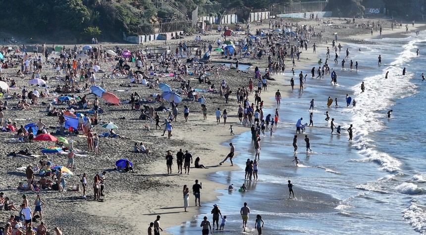
A dangerous and unseasonable heat wave continues to affect nearly all of California, placing more than 35 million Americans under heat alerts as temperatures climb to levels rarely seen this late in the year.
Across the Golden State, temperatures are expected to reach 20 degrees above normal for early October, with readings climbing into the 90s and 100s from the San Francisco Bay Area in Northern California down to the Mexico border. Urban areas face particularly challenging conditions, as warm overnight temperatures offer little respite from the daytime heat.
Los Angeles and San Diego remain under extreme heat warnings, while heat advisories have been posted for San Francisco and Sacramento. On Sunday afternoon, temperatures reached 104 degrees in downtown Los Angeles, 103 in Bakersfield, and climbed well into the 90s in San Diego and Sacramento. Multiple areas across the state surpassed the 100-degree mark.
The extreme heat warnings in Southern California will remain in effect until 8 p.m. local time Thursday. The dangerous conditions are expanding eastward, with above-average temperatures forecast to affect much of the West over the next 24 hours. On Monday, highs will reach the upper 80s as far north as southern Idaho and Montana, potentially challenging daily record highs in Boise and Billings. Denver also faces near-record temperatures, with afternoon readings expected in the upper 80s.
The situation on Saturday proved historic for several Southern California communities. At least eight cities broke daily high-temperature records, including Anaheim and San Diego, which both reached 105 degrees, and Santa Ana, which hit 107 degrees. Vista, located north of San Diego, recorded a high of 108 degrees, breaking a daily temperature record and tying an all-time high set on June 30, 1985.
While the West battles extreme heat, the Gulf Coast and Florida face a different threat. Flood watches remain in effect from southeastern Louisiana to southern Georgia, affecting major cities including New Orleans, Mobile, Tallahassee, and Brunswick. Meteorologists have issued a level 2 of 4 risk for excessive rainfall and flash flooding from southeastern Louisiana to the Florida Panhandle and into South Carolina.
Torrential rain threatens to trigger potentially significant flash flooding across portions of South Texas through Sunday evening. The most substantial rainfall totals are expected along the northern Gulf Coast and Florida Panhandle, particularly from Mobile and Biloxi to Pensacola, Panama City, and Brownsville. Forecasters predict 2 to 6 inches of rain in these areas, with localized totals possibly reaching 8 to 10 inches.
These extreme weather events underscore the challenges facing emergency management officials across multiple states as they work to protect residents from conditions that strain infrastructure and pose serious health risks. Authorities continue to urge residents in affected areas to take appropriate precautions and stay informed about rapidly changing conditions.
Related: Country Singer Zach Bryan Wears Pro-Palestinian Shirt at Gillette Stadium Concert